The aim of the project was to identify thermal water resources in the area of the designed research and operation borehole. The research was based on the 2D ( reflexive) seismic method. The seismic profile was 6200 metres long.
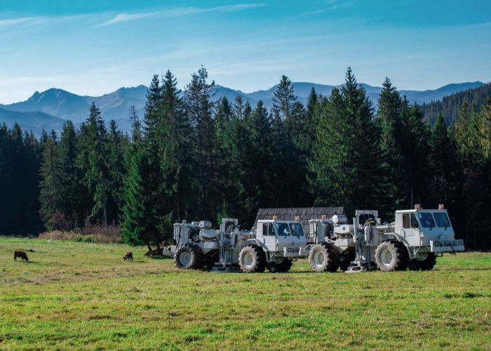
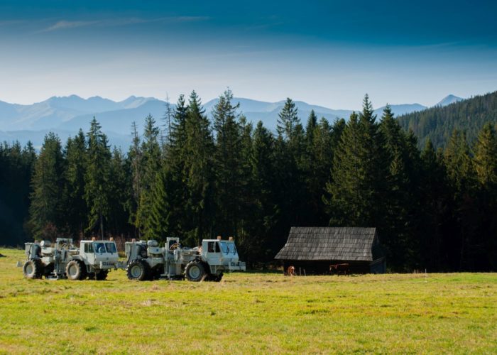
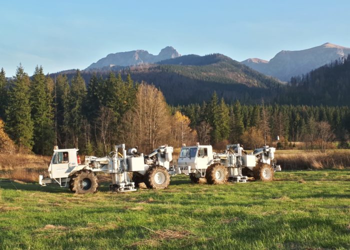
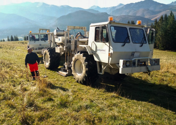
During the field works two Failing Y-2400 vibrators were used on Birdwagen MARK IV vehicles, each weighing 20 tons, while the data were recorded using wireless seismic equipment RT System 2 from Wireless Seismic Inc.
All geophysical works (field and office) were performed by employees of Geopartner Sp. z o. o. The task included the following stages of work: reconnaissance (scouting), permiting, geodesy, field data acquisition, processing and interpretation and damage estimation.
Translated with www.DeepL.com/Translator (free version)


