The magnetotelluric (MT) method, which Geopartner suggests for geothermal exploration has for many years been used successfully in this type of issues around the world. Unquestioned use of MT method emerge from the fact that as a result of the measurement, processing and interpretation of the data the distribution of rock conductivity as a function of the depth of geological layers is presented.
As part of the research of the geological structure we propose the use of a set of MT, reflection seismic surveys and gravimetry.
A common feature of these methods is the resistive imaging, ie. interpretation and analysis of the geological structure and relations water in the geological deposits based on conductivity.
As part of the comprehensive geophysical surveys to identify water deposits, Geopartner offers integration of geo-electrical and seismic methods together with potential fields methods (gravimetry, magnetometry). This approach is justifiede specially in areas with complex geological structure. For the recognition of water-bearing zones in the holes, we recommend a the borehole GPR. Use of 100MHz frequency in-hole antenna (to a depth of 150m) allows to determine fracture zones, aquifers and claystone areas.
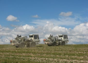
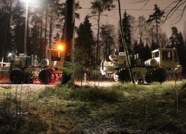
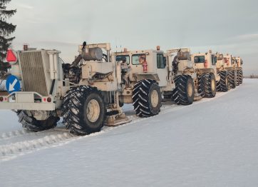
e perform geophysical survey with use of geo-electrical methods; magnetotelluric(including AMT and CSAMT), electromagnetic(EM), the transient electromagnetic method (TDEM), electrical resistivity methods (ERT, SGE) and VLF.