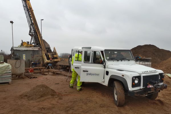
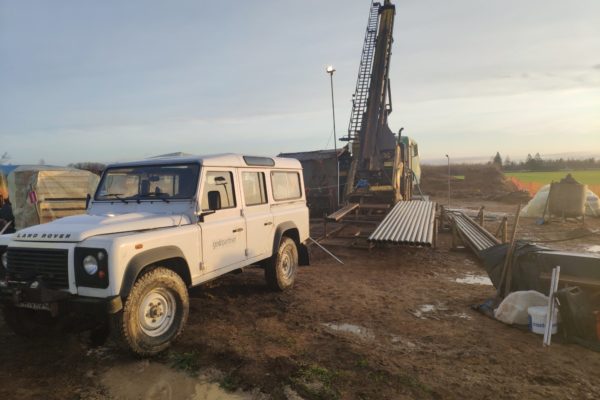
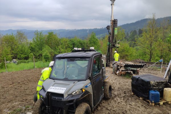
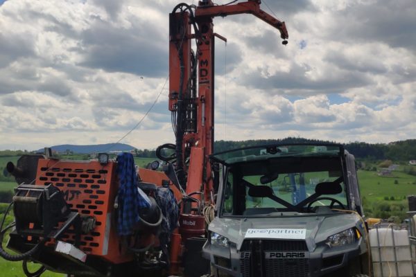
Geopner offers services in the field of measurement, processing and interpretation of drilling geophysics data. We operate at the ROBERTSON GEO measuring equipment together with an extractor, recorder and measurement probes. We carry out tests in open and cased holes.
Well geophysics – is a diverse set of testing methods carried out in boreholes (both open and cased), using various methods and tool sets (probes). It provides a very broad spectrum of information about drilled formations. Its big attribute is relatively cheap and fast data acquisition in a continuous manner from a long measurement section, in conditions of their natural deposit (in situ).
The well logging apparatus consists of a series of depth probes, cable, hoist and ground-based recording equipment. The probes are usually cylindrical in shape and consist of transmitting and measuring elements. Due to the fact that most boreholes are subject to extreme conditions (very high temperature and pressure), the elements of the probes (detectors, electronics sets) must be properly made and protected against negative factors.
Well geophysics measurements are generally carried out in two ways: traditional on the probe cable and on the drill wire; they include measurements carried out directly during drilling (Logging While Drilling) and tests in directional and horizontal wells, in conditions difficult for the classical method.
Traditional measurements on the probe cable (Wireline logging) consist in lowering the probe (or a set of connected probes) into the wellbore and then, as it is pulled out of the well, continuous registration (measurement) of changes in physical parameters of the drilled rock formation, using the probe receivers (detectors). The signal is then transmitted to the surface via a multi-wire geophysical cable and recorded by ground-based equipment. Most often the profiling of borehole geophysics is performed when moving the probes upwards. The probe measuring devices are centred in the well or pressed against the well walls using elastic elements.
Well logging measurements cover a very wide and varied range of methods, designed both for boreholes before, as well as after they have been cased and cemented.
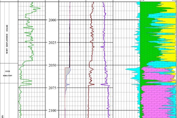
Surveys performed for the purposes of geological exploration of a rock mass are carried out immediately after drilling and preparation of a well, before it is cased (so-called open-hole). The recorded data are stored in the form of the profiling, which in well geophysics means a continuous recording (registration) of changes in a given physical parameter characterizing a rock medium or reservoir fluids as a function of depth changes.
Measurements and works of well geophysics performed in drill holes include the following tests:
- electrometric: resistance of a rock medium for different distances from the well axis and with different resolution, natural potentials
- radiometric: the natural gamma-ray of the rock medium and gamma spectrometry
- neutron porosity, the volumetric density of the rock medium and fluids in the hole
- acoustic: time of acoustic waves in the rock centre, state of cement bonding, scanning of hole walls and pipes
- measuring with a diameter
- measurements with acoustic and resistance scanners
- the temperature in the hole
- the deposit and hydrostatic pressure of fluids
- technical: hole and pipe diameters, hole deviation from vertical, position of pipe sockets
- the flow of fluids in the hole
- sampling of bed fluids
- taking the cores from the wall of the hole
- check shot and VSP measurements
- blasting operations: perforation on cable and mining pipes, pipe cutting, erecting aluminium plugs, firing of fuse and gunpowder torpedoes
We offer measurements in small diameter holes:
- measurement of the hole diameter with a 3ACS three-arm cavernometer (caliper)
- measurement of natural gamma radiation NGAM
- rock resistance measurements with the dual-band ELTG probe
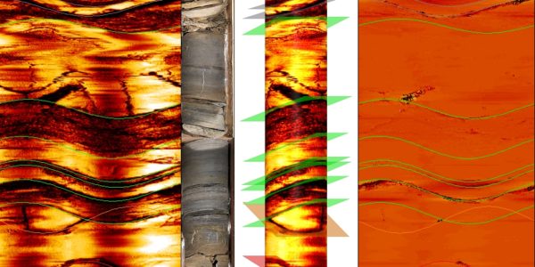
- High resolution well wall imaging with HRAT acoustic scanner
- temperature measurement of TEMP rock mass
The measurement data is saved in files with a format specific to each measurement system and can be exported to different interpretation systems.
PROGEO 6.6 – A package of graphic and numerical programs designed for processing and graphical presentation of various geophysical measurements. The program has extensive options for graphical presentation of results
WellCad – a modular software package that provides a comprehensive interface for processing, interpretation and graphic presentation of various types of geophysical data.
Well logging - Interpretation work.
We offer various types of measurement processing, comprehensive analysis and interpretation of single measurements or sets of different measurements and graphical output of results. We are qualified and authorized to perform standard and advanced interpretation works. We also have experience in interpreting archival measurements.
Scope of work:
- Lithological and deposit analysis
- Imaging measurement analysis (HRAT)
- Processing and interpretation of archival geophysical profiling
- Preparation of drilling geophysics data for seismic purposes

