Subject: Geophysical survey with use of electrical resistivity and conductivity method in order to study the distribution and migration of contaminants in soil-aqueous medium for the storage of iron sulphate
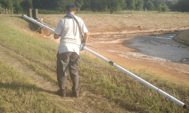
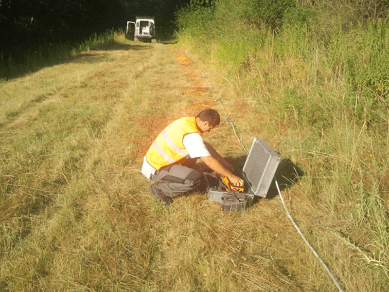
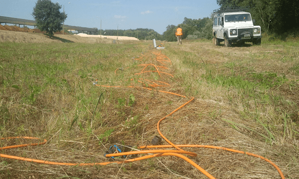
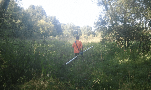
The survey was perform to study distribution and migration of pollutants in soil-aqueous medium around the landfill, and to illustrate the range of changes in conductivity (resistivity), and thus determined the occurrence and extent the halo for potentia loutbreaks of contamination. In the framework of the survey, geophysical surface methods such; electrical resistivity tomography (ERT) and conductivity method (EM) – dipole-dipole induction profiling, were used.
As a result of the survey, cross-sections and maps showing the resistivity in a three-dimensional image of the soil- aqueous medium, were presented.